Data provided in The City of Cockburn Mapping Hub (formerly Intramaps)
The City of Cockburn Mapping Hub (formerly known as Intramaps) allows you to view a wide range of maps using various tools to customise what is displayed. Information provided includes:
- Property information e.g. zoning, lot boundaries and size
- Waste collection days - bin and verge collection
- Ward boundaries and Councillors
- Parks and reserves
- Dog off-lead exercise areas
- Street Trees
- Constraints, heritage and environmental data
- Infrastructure including drainage and roads
- Fire management
- Topography
Access Cockburn Mapping Hub
The Cockburn Mapping Hub is provided by a third party. The City regrets it cannot guarantee the accessibility of this application.
Mapping Hub Tools
Zoom tool

Allows you to zoom in and out.
Home button

Allows you to zoom the map to the initial map extent.
Find My location

Allows the network to detect your physical location and zoom the map to it.
Reset map orientation

Allows you to reset the orientation of the map view
Measure tool

Allows you to measure distances and area. Click where you wish to measure and double click to finish.
Basemap Gallery

Presents a gallery of basemaps and allows you to select one from the gallery as the basemap for the app. Some options are Google Street Map and Satellite View.
Draw Tool

Allows you to create simple graphics for points, lines and polygons. You can also add measurements to drawn graphics for length, perimeter and area.
Select Tool
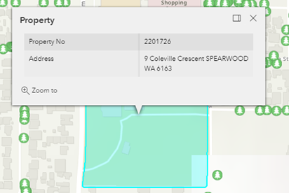
To view further information for a particular property, click on the property in question to display information in the information pop up
Using Searches
There are two different search functions that can be used to search for information. These are listed below:
1. Main Search Bar
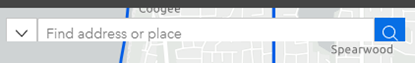
The main search bar allows you to key in an address in one field. You just need to type in the location you are looking for.
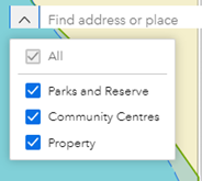
Some apps like Property allow you to further refine the search to search for specific City Infrastructure such as parks and reserves. To do this, click on the down arrow on the left and select the topic of searching. Type the name in the search box and select the relevant result.
2. Query Tool

Allows you to search a street name or lot number. These searches are specific to the app topic and the information available on the map so will be different for all apps.
Using Layers
1. Visible icon display
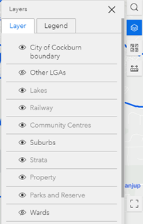
The layer tool shows the available information to view on the current map. These can be toggled on and off as desired.
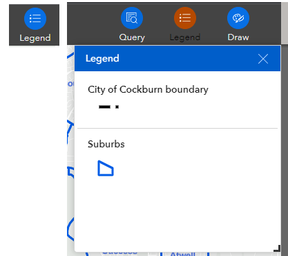
Legend
The legend displays labels and symbols for layers in the selected map. The legend only displays the layers that are turned on.
There are two ways to view the legend for the map. These are:
1. Within Layer tool
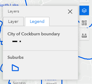
2. Using the Legend Tool